|
|
What is LiDAR? LIDAR (Light Detection And Ranging) is an optical remote sensing technology that measures properties of scattered light to find range and/or other information of a distant target. The prevalent method to determine distance to an object or surface is to use laser pulses. Similar to radar technology, which uses radio waves, the range to an object is determined by measuring the time delay between transmission of a pulse and detection of the reflected signal. The data is processed with other data captured during the flight (Including GPS data) to ensure it is accurate. From the processed data the points can be classified as being ground or non ground points. Further classification is also possible. The advantages of LiDAR include:
Airborne Laser Scanner Schlencker Mapping provides LiDAR data using the latest in world leading Airborne Laser Terrain Mapping (ALTM) technology. The LiDAR technology is able to record 3D elevation data at 167kHz and features multi–pulse data capture enabling more efficient and economical data collection. Real–time medium format (39 Megapixel) digital camera imagery (in either Infra-Red or True Colour) can be captured simultaneously. Utilising the camera combined with the LiDAR provides a viable option in critical incident response or high volume aerial survey requests. For those smaller projects, Schlencker Mapping also offers Drone based LiDAR solutions |
|
| www.schmap.com.au © 2021 |
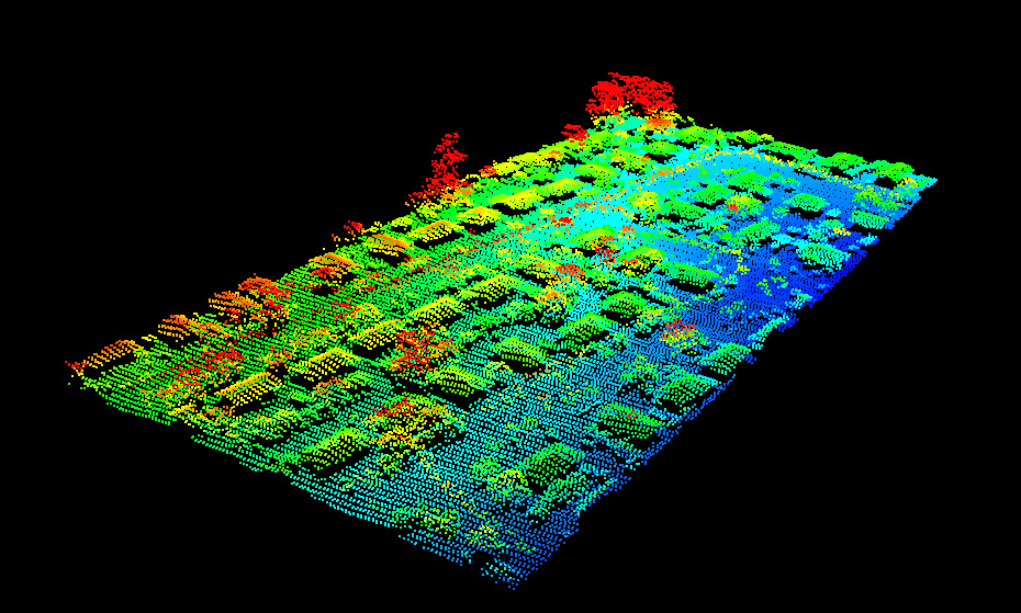 Schlencker Mapping is firmly established as a provider for LiDAR Services, also referred to as Airborne Laser Scanning (ALS). Demand for LiDAR services has increased in recent years and is now regularly used and in particular for detailed DTMs. LiDAR offers some advantages over traditional photogrammetry solutions including the ability to determine ground height in dense vegetation and being able to acquire a high density of data in a short timeframe. Schlencker Mapping is continuously investigating LiDAR as a useful tool in several natural resource domains and where it can deliver value in a broad range of infrastructure projects. Many other applications are being explored and developed.