|
|
What is GIS?GIS is a system of hardware and software used for storage, retrieval, mapping, and analysis of geographic data. Practitioners also regard the total GIS as including the operating personnel and the data that go into the system. Spatial features are stored in a coordinate system (latitude/longitude, state plane, UTM, etc.), which references a particular place on the earth. Descriptive attributes in tabular form are associated with spatial features. Spatial data and associated attributes in the same coordinate system can then be layered together for mapping and analysis. GIS can be used for scientific investigations, resource management, and development planning. GIS Compatibility Schlencker mapping has implemented state-of-the-art CAD/CAM technology, including ESRI ArcGIS, AutoCAD and MapInfo software to be able to provide a range of data in compatible formats for your GIS system. |
|
| www.schmap.com.au © 2021 |
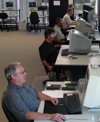 Whether you are organising and analysing various data sets to assist in business decisions or whether you are managing assets across a large area for a government authority, Schlencker Mapping is able to support your needs. We have been providing data acquisition services for GIS users for well over a decade. By engaging Schlencker Mapping in the often labour and time intensive data capture and data updating processes, GIS can be facilitated in your business.